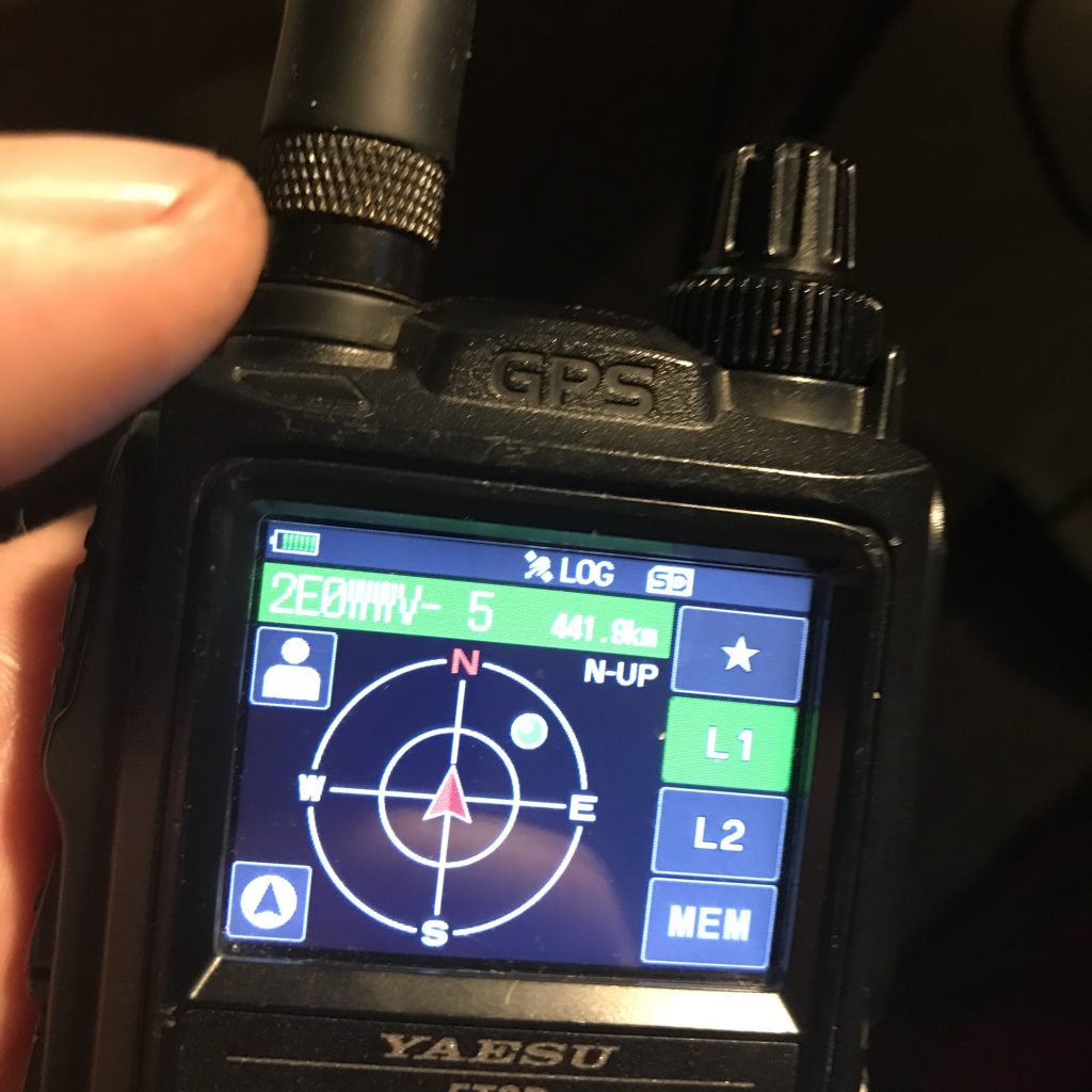
The FT3 has a superb GPS inbuilt. It’s fast and accurate.. BUT you cannot program a waypoint into the memory unless its given to you by another radio in the GM Group, or you are actually there (which defeats the object).
I do SOTA and I would love to prepare for my SOTA trip by programming the destination summit into my radio BEFORE I GO! Until now that hasn’t been something possible on the FT3 because you cannot favourite a manually saved co-ordinate from the P0-P10 locations memory! What!???? Why????
Thankfully for me I have come up with a neat work around using APRS and second radio, plus the awesome “PulseModemA” iOS app.
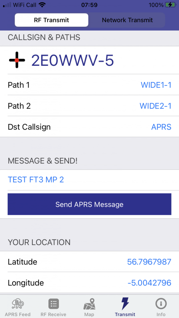
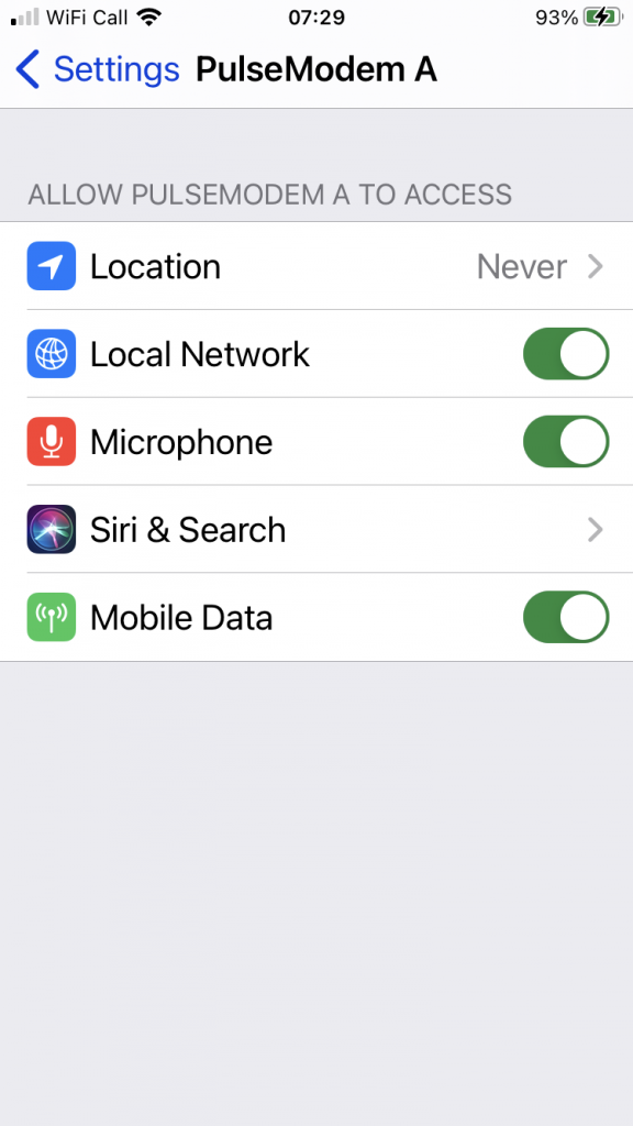
Grab the app “PulsemodemA” from the App Store and configure it with your usual details/callsign and pin code for APRS. Then goto “TRANSMIT”… Your lat/long will appear at the bottom. The problem is they keep changing because the GPS is on. So, goto “Settings–>PulseModemA–>Location” and set to “Never”. Then go back to the app. You can now manually enter your chosen decimal lat/long.
OK, now enable APRS receive as usual on your FT3. Take a 2nd radio (any capable of TX on your APRS frequency .. for me it is 433.800 as I am in N Yorks but for you it may be 144.800 etc).
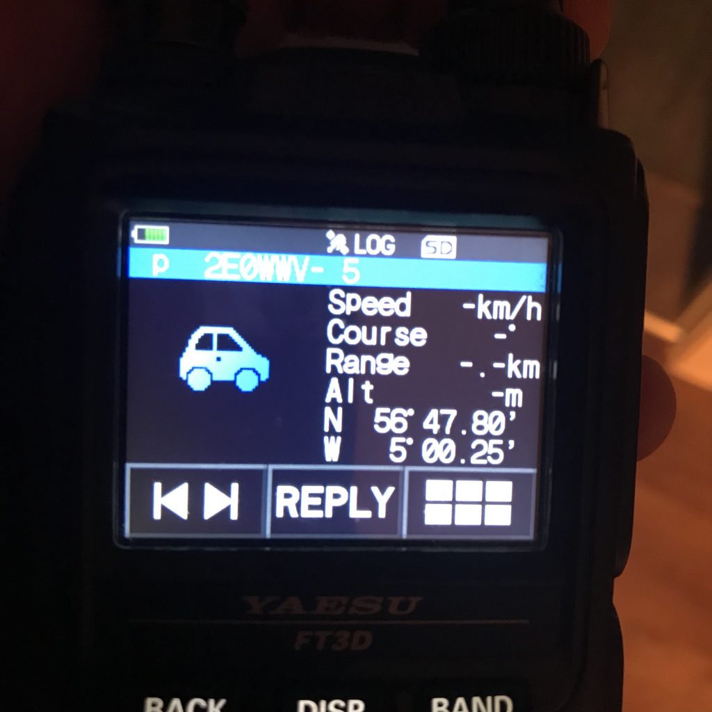
Hold PulsemodemA to the microphone of the radio and “Send Message” whilst keyed up briefly. If all goes well, your FT3 will BEEP and your APRS message will pop up on the FT3 screen.
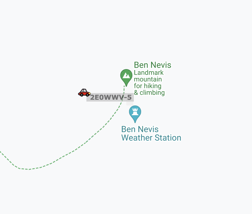
Perfect.. let’s make sure that we were we want to be? I checked APRS.FI and see I am listed as on Ben Nevis – which is where I wanted to navigate to.
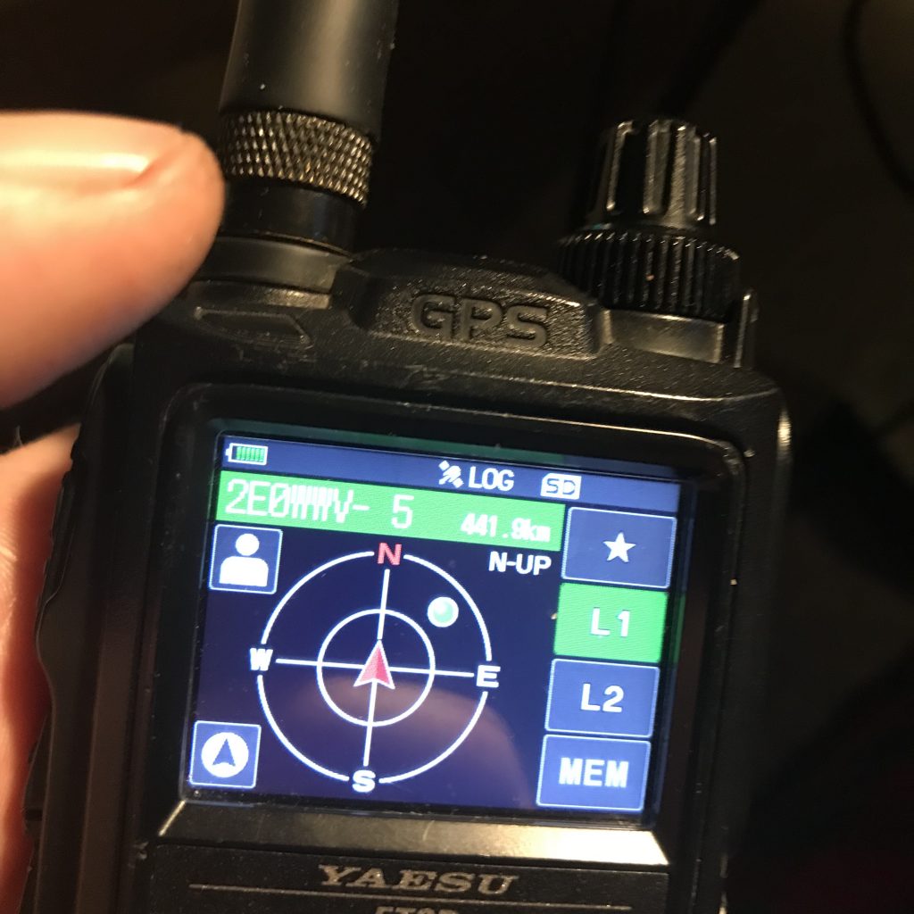
The last step is to now press the DISP button on your FT3 and goto the COMPASS screen. Press the “PERSON ICON” and your screen will show the station data of the last APRS RX packet (YOU)… Press and hold MEM and then save the station to now of the 3 memory slots.
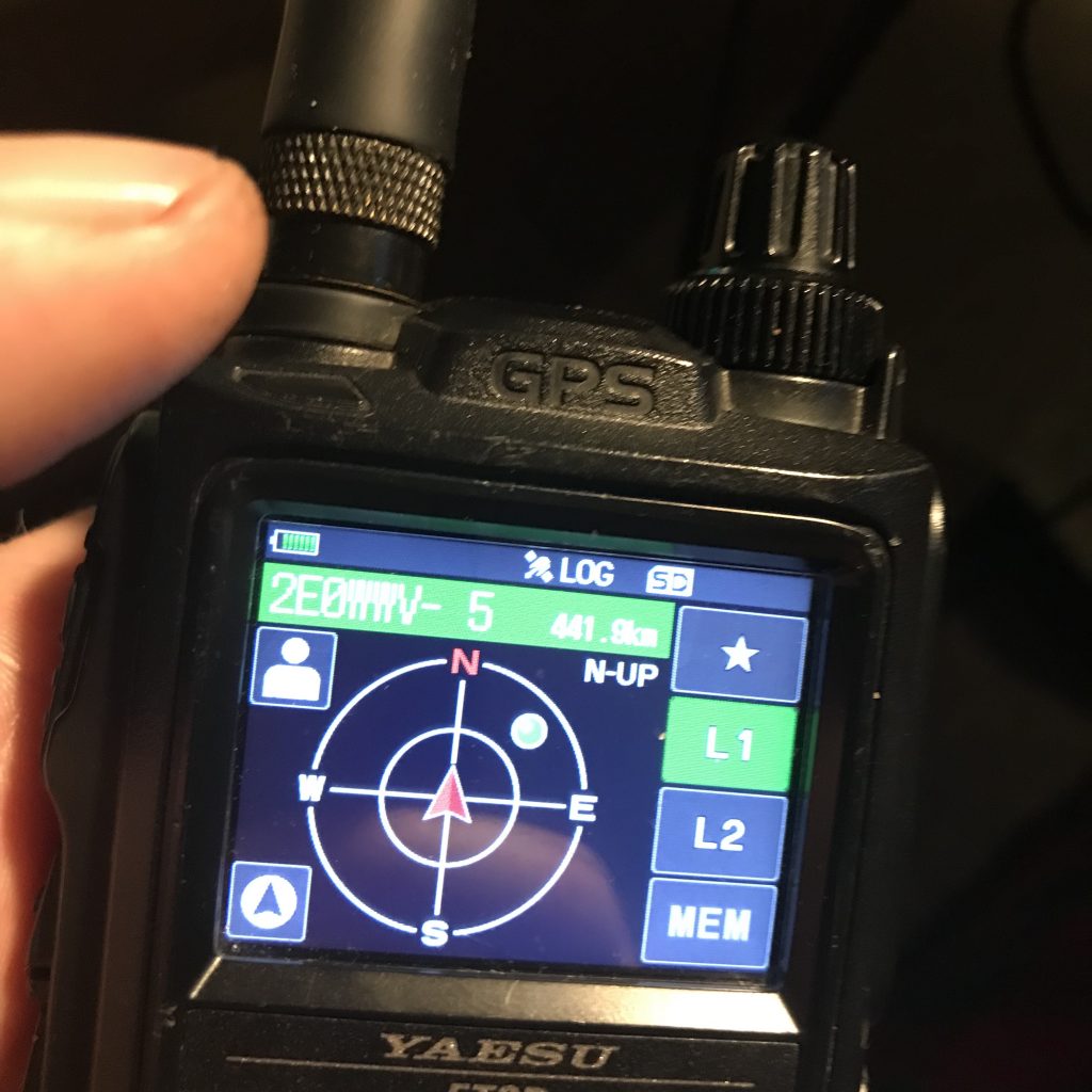
Now, when you start your ascent of the summit you can use your FT3 to tell you how far and what direction to go.
Have fun!
DE 2E0WWV
